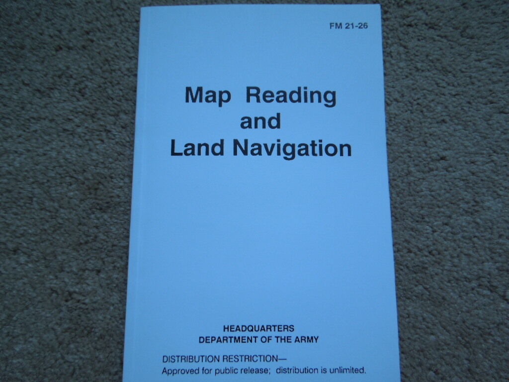
USGI Manual Map Reading And Land Navigation 150 pages For Sale -

When you click on links to various merchants on this site and make a purchase, this can result in this site earning a commission. Affiliate programs and affiliations include, but are not limited to, the eBay Partner Network.
USGI Manual Map Reading And Land Navigation 150 pages:
$5.95
From the Headquarters Department Of The Army we have FM 21-26 titled Map Rading And Land Navigation. This field manual is 5 1/4\" by 8 1/2\" long, is dated May of 1993, is over 150 pages long and is filled with numerous maps and diagrams to help the individual master the art of map reading and land navigation. It is broken down into the following chapters: Training Strategy: The Building Block Approach, Armywide Implementation, Safty. Maps: Definition, Purpose, Procurement, Security, Care, Categories, Military Map Substitutes, Standards. Marginal Information And Symbols: Military Maps, Additional Notes, Topographic Symbols, Military Symbols, Colors. Grids: Reference, Military, Geographic, Other Systems. Scale And Distance: Direction: Base Lines, Azimuths, Grids, Protractor, Declination, Intersection, Resection, Polar. Overlays: Aerial Photographs: Comparison, Types, Film, Numbering and tilting Information, Scale, Indexing, Orienting of Photos, Grid Points, Identification, Sterovision. Land Navigation: Compasses, Lensatic, Using and Handling, Field Expedient Methods, Global Positioning. Elevation And Relief: Methods, Contour Intevals, Slopes, Terrain, Interpretation. Terrain Association: Orienting, Locations, Terrain Association, Tatical Considerations, Movement and routes, Navigation, Night Use. Mounted Land Navigation: Principles, Duties, Movement, Terrain Association, Dead Reckoning, Turret Alignment, Combination Navigation. Navigation In Different Types Of Terrain: Desert, Mountain, Jungle, Artic, Urban. Unit Sustainment: Field Sketching, Map Folding, Units Of Measure and Conversions, Joint Operations, Foreign Maps. This is without a doubt the most detailed book I have ever seen on Map Reading. To some this is a lost art, with all the fancy high tech methods of today, but just like basic math one needs to understand how to navigate without being told by a satellite where you are. Even the novice could become an expert on Land Navigation after reading this book, who knows it might even save your life someday!!!! Our manual is in mint un-issued condition!!!!!!! Buyer is to pay for the shipping charges!!!!!!!! The cost of shipping this item will be $5.35 (within the United States). We offer a 40% discount on the shipping costsof multiple sales for domestic delivery from any of ouritems that we sell on E-bay.. Upon E-bay notification of the winning sale please complete payment though PayPal for immediate shipping . By seeing your response left for us that will indicate your item arrived safely and in good condition plus that you were 100% satisfied with our transaction. response will be left on all sales. THANK YOU AND GOOD LUCK On Oct-01-04 at 08:44:01 PDT, seller added the following information: 
Use the FREE Counters 1 million sellers do - Andale!
will send an Invoice to all sale winners shortly after close of thesale, but I WILL SEND A COMBINED INVOICE FOR WINNERS OF MULTIPLE sales SOON AFTER CLOSING .... We Offer NO Local Pickup....
